On August 24, 2026, the San Francisco Public Utilities Commission opened the Skyline Watershed Ridge Trail, a new six-mile stretch of the Bay Area Ridge Trail running along Highway 35 just south of the Highway 92 junction, near Skylawn Memorial Park. It sits inside land the SFPUC has kept closed to the public for more than a century. The ribbon was cut August 20 with the Bay Area Ridge Trail Council and local officials, including San Mateo County Supervisor Ray Mueller, and the trail brings the regional Ridge Trail network to 413 of a planned 550 miles.
The Same Corridor, a Different Set of Rules
For those of you familiar with Windy Hill, here's a comparison to the new Skyline Watershed Ridge Trail. They sit close enough together that a resident could drive past one lot to reach the other. But the access model isn't interchangeable, and treating the new trail like an extension of Windy Hill will catch people off guard.
Windy Hill Open Space Preserve | Skyline Watershed Ridge Trail | |
|---|---|---|
Cost | Free, no permit | Free, but a permit is required |
Hours | Opens 30 minutes before sunrise | 6:00 am to 6:00 pm daily |
Dogs | Allowed on leash on most segments | Not permitted |
Parking | Multiple lots along Skyline and in Portola Valley | One lot, 22 standard spaces, 5 trailer, 2 ADA |
Trail shape | Loop options via Spring Ridge, Hamms Gulch, Razorback Ridge | Out-and-back only, not yet connected to other segments |
The permit itself is simple. It's a free online application through the SFPUC that takes a name, ZIP code, and email address, and it covers up to six people for the rest of the calendar year. But it's a step that doesn't exist anywhere else on this stretch of Skyline, and skipping it means turning around at the gate.
The parking gap is the one that will actually change a Saturday morning. Windy Hill spreads its traffic across roughly five access points, four of them on Skyline itself. The new trail has exactly one lot. A Menlo Park photographer who visited five days after the trail opened arrived at 7:00 am and found the lot already full. By the time she left at 10:30, cars were parked along Highway 35 itself and near the bus stop by the Skylawn entrance on Highway 92.
What's Actually Down There
The land itself is the part that makes the wait worth planning around. This section of the Peninsula Watershed spans 23,000 acres, thirteen miles south of San Francisco, and protects four of the reservoirs that feed the Hetch Hetchy system serving 2.7 million Bay Area residents. According to the San Francisco Estuary Institute, it also holds the highest concentration of rare, threatened, and endangered species anywhere in the Bay Area.
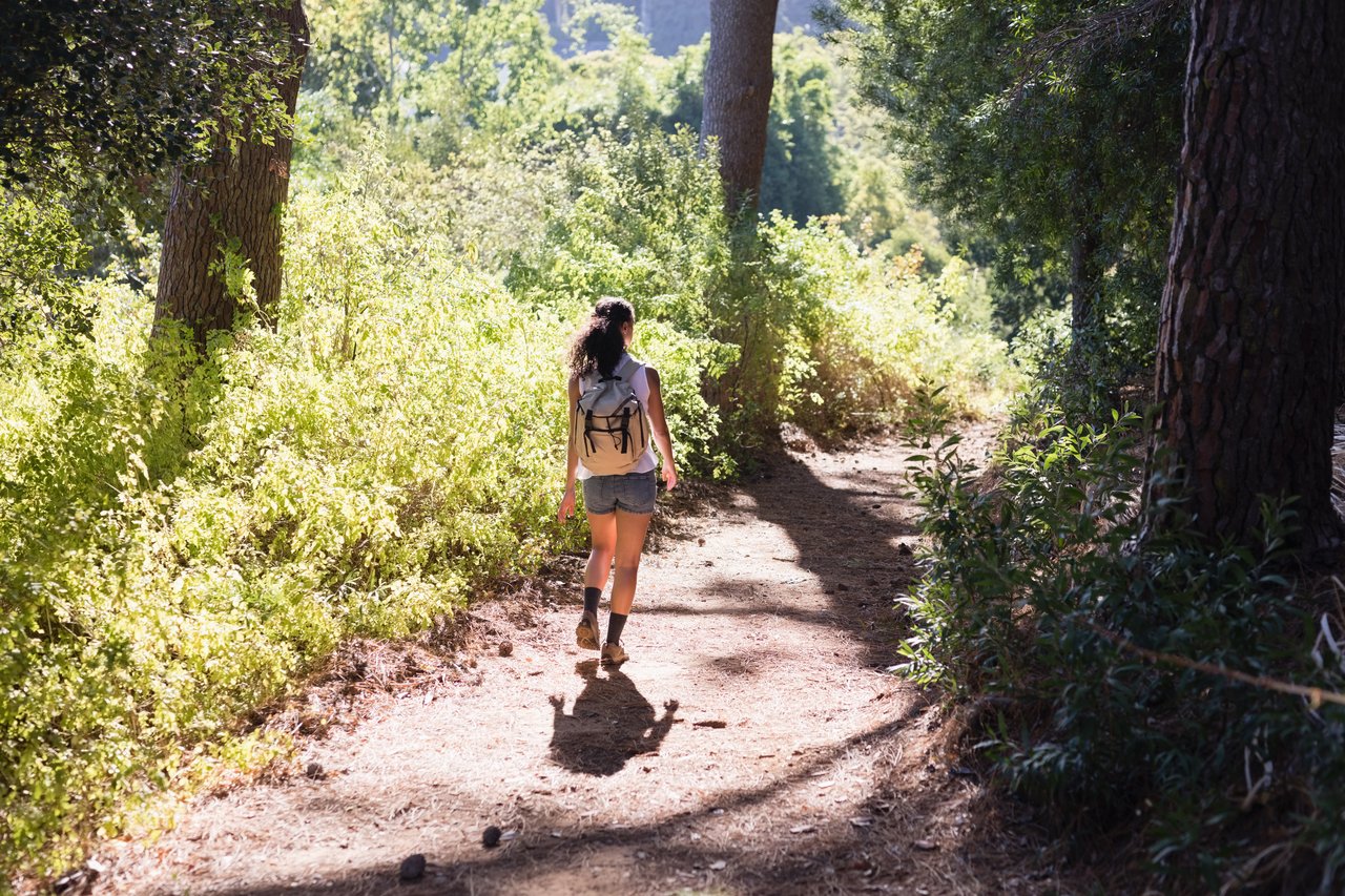
An SFPUC representative described the payoff to KQED in blunt terms: on a clear day, the trail delivers "phenomenal views of the bay and, in some places, downtown San Francisco, Mount Diablo, and also the ocean." The route runs through shaded forest before opening onto those ridgeline views, with interpretive signs along the way explaining both the water system and the ecology of the land it crosses. Two pit toilets are placed at miles 2 and 5, and a separate half-mile accessible route, the Watershed Discovery Trail, sits near the same trailhead for anyone who wants the interpretive signage without the six-mile commitment.
The Part That Isn't Built Yet
The trail is an out-and-back for a reason. It doesn't connect to anything else in the Ridge Trail network yet. The plan is to eventually link it south to Purisima Creek Redwoods Preserve, but that requires a safe crossing of Highway 35 that hasn't been built. Funding for the segment that does exist came partly through a $1 million Federal Highway Administration grant directed by the Metropolitan Transportation Commission and the California Coastal Conservancy, alongside partners including the Midpeninsula Regional Open Space District, Peninsula Open Space Trust, and San Mateo County Parks.
Just north of the new trail, another segment called the Fifield-Cahill Ridge Trail runs through more sensitive habitat and stays open only through reserved, docent-led hikes. The contrast is worth noticing. The SFPUC chose to open this southern stretch on the honor system of a permit and some signage rather than a guided tour, which tells you something about how the agency is weighing access against protection here. It's a more open bet than the one next door, and it's the kind of decision that could tighten if the trail gets loved too hard, too fast.
If You're Going
A few things worth knowing before the first attempt:
- Get the permit before you drive up. It takes a few minutes online at the SFPUC's trail page and is valid through the end of the year.
- Arrive before 7:00 am on weekends if you want the actual lot rather than the shoulder of Highway 35.
- Leave the dog at home. This is one of the only rules that differs from every other trail on this stretch of Skyline.
- If parking looks tight, SamTrans Route 294 stops near the Highway 92 and Skyline Boulevard junction and connects to Caltrain's Hillsdale station, a workaround the Windy Hill crowd rarely needs to think about.
- The trail is out-and-back, so budget for the return trip. There's no loop shortcut yet.
Why This Is Worth Tracking
It's a rare event when a piece of land this close to us, held closed for longer than most residents have been alive, opens up at all. The SFPUC didn't have to build interpretive signs or fund a $1 million connector grant for a trail that only exists to check a box. The scale of investment suggests they expect this corridor to matter to the region for a long time, and the current rules, permit required, no dogs, one small lot, read like an agency testing how much access this land can handle before deciding whether to expand it.
For now, the practical takeaway is simple. The instinct that works at Windy Hill, just drive up and go, doesn't transfer six miles up the same road. Get the permit first.